Improvements to the electric transmission grid are necessary to provide reliable power to customers. Conducting field activities helps project teams prepare to build, upgrade and maintain transmission facilities. Landowners are informed about upcoming field activities in a variety of ways, including:
Company representatives and contractors work closely with property owners prior to conducting field activities.
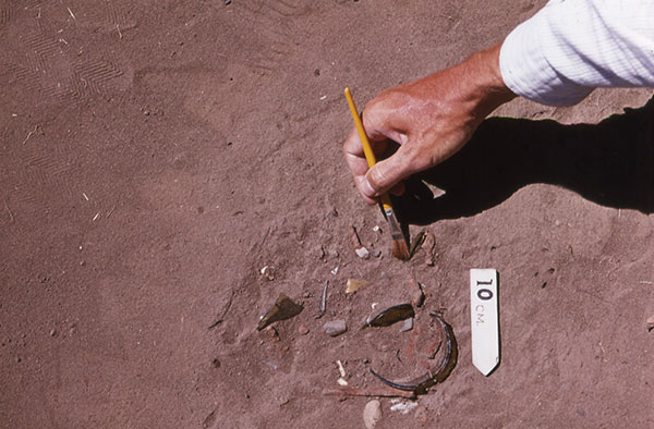
Field crews walk the area and conduct multiple excavation tests to identify historical and archaeological artifacts. Landowners also provide information about their property to survey crews.

Surveyors collect information about the habitats and physical attributes of the project area. They also look for ecological concerns like wetlands, flood plains and forests. This process can help protect endangered species, such as the Indiana Bat and American Burying Beetle.
Field survey crews help determine an appropriate route for a new transmission line by identifying constraints within the project area.
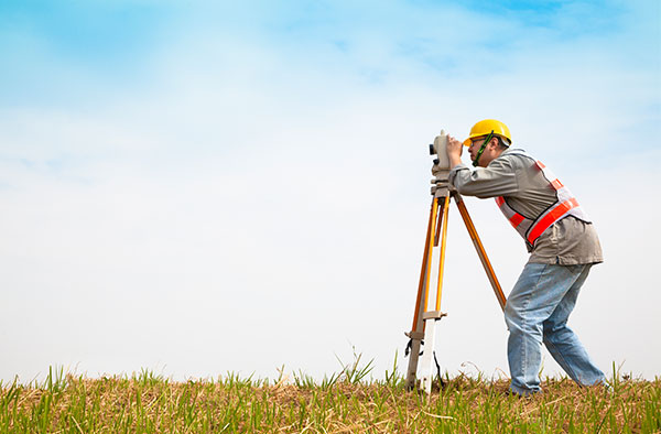
Engineers conduct extensive studies of the terrain and soil to determine what types of structures and foundations are most suitable. They also gather information to create digital 3D maps of the project area to help engineer and design the project.
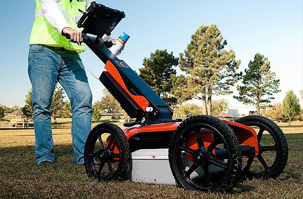
Ground Penetrating Radar (GPR) helps identify the location of underground utilities. A device that looks similar to a lawnmower, and is nondestructive to the soil, uses radio frequencies to detect objects below the ground's surface.
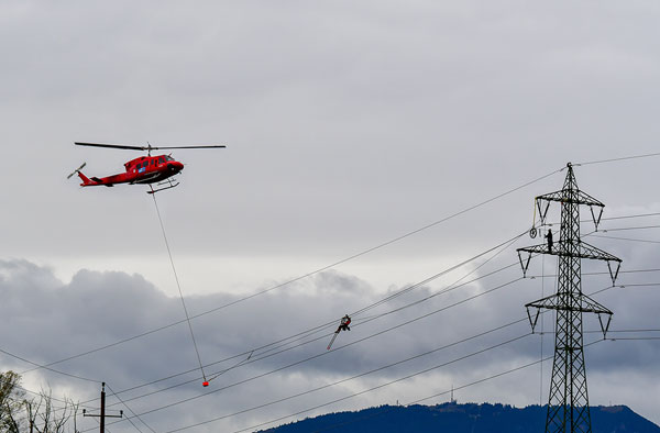
Challenging terrain or other restrictions/obstructions can make accessing certain parts of a project area difficult. In these locations, crews use helicopters to install structures, string conductors, perform line work and maintain electric facilities. Company representatives work with local media outlets to communicate these activities to the public.
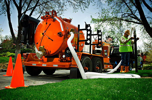
Crews use hydro excavation (hydrovac) in areas where many underground utilities are located near each other. This process involves using pressurized water to break down soil to expose underground utilities. Afterward, crews backfill the area. The process helps prevent damage to underground infrastructure while gathering important information.
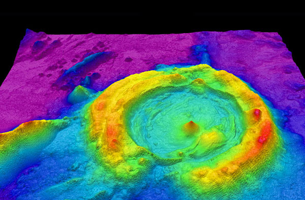
LiDAR (Light Detection and Ranging) uses laser pulses to measure the distance of an object to the source. The data points result in digital 3D maps for accurate design and engineering. LiDAR surveying crews use mobile (car or aerial vehicle) or static (tripod) equipment.
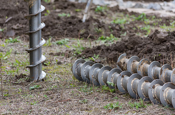
Field crews use a drill to bring up soil samples and then backfill the holes. Testing the core samples helps determine soil conditions in the area. Soil conditions and types can affect structure location and foundation design.
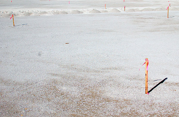
Field crews use staking to mark the project area, utility equipment, and future structure locations.
Right-of-way crews use staking to identify parcel boundaries, easement boundaries and other utility locations.
Environmental crews use staking to identify wetlands or other environmentally sensitive areas.
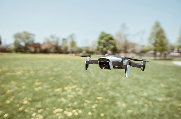
Unmanned aerial vehicles (UAVs), or drones, perform aerial inspections and safely gather data and detailed images of electric facilities. Company employees and vendors comply with all commercial Federal Aviation Administration (FAA) guidelines. Company representatives work with local media outlets to communicate these activities to the public.